Korea Mountain Weather Warning: When to Turn Back

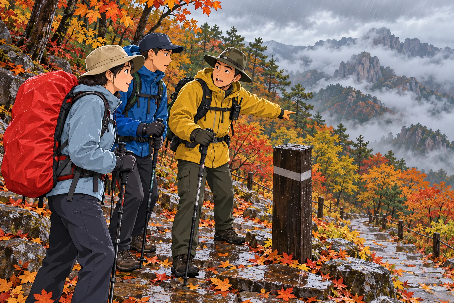
You are halfway up a Korean mountain when the cloud line drops over the ridge. The route still looks walkable, but the rock is becoming slick and the return trip will take longer than the ascent. The real decision is no longer whether you can reach the summit. It is whether you can get everyone back on a known trail before conditions close in.
This guide is for a Singapore-based visitor planning or already making a day hike in Korea. It gives a practical stop-or-go process using the Korea Meteorological Administration (KMA) and the national-park operator where relevant. It does not replace a ranger's instruction, a posted closure, or local emergency advice. If a trail is closed, do not enter it even if the sky above the car park looks clear.
Check official mountain and weather warnings before departure
Check the Korea Meteorological Administration alert for the exact hiking area, then inspect the park operator's current trail restrictions. A general city forecast is not enough for a ridge or valley route. Decide on a latest safe turnaround time before setting off, allowing daylight and slower descent on wet ground.
Read the warning before reading the travel blog
Open KMA's current severe-weather status for the province and mountain area you will actually enter. Look at the type of alert, issue time, affected area and whether it is an advisory or warning. KMA distinguishes different hazards, such as heavy rain, strong wind, heavy snow and heat. A “no warning” screen is not a guarantee of safe footing; it tells you what official severe-weather alerts are active at that moment. Pair it with the short-range forecast for expected conditions during the entire route and return.
Mountain weather can diverge sharply from the city where you slept. A clear morning near a subway stop does not tell you what exposed rock will feel like in wind or what a narrow valley will look like after rain. KMA even has separate mountain-area wind criteria on its warning page. Do not turn those numbers into a personal threshold for proceeding. The agency's alert is a strong reason to reconsider an exposed hike, but the trail surface, route length, your group's condition and a park closure may demand an earlier stop.
Read the time range, not only the icon. A shower predicted for the afternoon can matter on a five-hour circuit even if the first hour is sunny. Work backward from the expected descent: when will you reach the last steep or exposed section? If you cannot complete it before the higher-risk period with margin for a slow companion, shorten or cancel the route. This is especially relevant when your day-hike plan depends on a last bus or a fixed park entry window. A few minutes saved at the trailhead cannot erase a long descent in worsening visibility.
Check the operator's status for your exact route
For a national park, inspect the Korea National Park Service (KNPS) page for the specific park and path. Its Bukhansan page, for example, displays real-time control information, downloadable maps and route difficulty. KNPS tells hikers to check trail closures and access-time rules before a visit. A “partial closure” label does not establish that the segment you planned is open. Open the detail, look for the exact trailhead and section, and ask a ranger or information desk if the map or notice is ambiguous.
Do the same if you are hiking somewhere other than Bukhansan: go to that park's current page. An old screenshot of Bukhansan, a tourism roundup, or a weather app icon cannot tell you whether today's Seoraksan or Hallasan route is restricted. Where a route has a reservation or fixed entry time, verify it with the actual operator. Weather and conservation restrictions can change independently of a reservation you made weeks ago. A valid reservation is not permission to cross a closed barrier.
Korea Tourism Organization (KTO) recommends choosing a course that matches your ability, checking the forecast, staying on marked paths, hiking with a companion and noting mountain location signs. Its Seoul hiking safety guide is useful preparation, but the live KNPS page and current KMA alert settle today's access and weather. Our Bukhansan trail guide can help choose a route; check the operator again on the morning of the hike.
Build a turnaround rule before you are tired
Before entering, agree on a latest turnaround time, a short-list of weather changes that will end the ascent, and the return route. Make the rule simple enough to use when you are tired: “We turn back at [time] even if the summit is close; earlier if the route is closed, visibility falls, lightning threatens, exposed rock becomes slippery, or anyone feels unable to descend safely.” This is a conservative planning rule, not an official numerical weather standard. The person with the slowest safe descending pace determines the schedule.
Choose the decision point on a map: perhaps the last sheltered junction before an exposed ridge. Photograph the trail map and note its Korean place names. Save an offline map if possible, but do not let a phone app persuade you to take an unmarked shortcut. Mark the trailhead and the nearest staffed information point. Tell someone who is not on the hike your route, expected return time and how to contact you if you do not check in. This makes an overdue return easier to identify without waiting until night.
Pack for the actual forecast and terrain: footwear with grip, a layer for cooler higher ground, rain protection, water, food, a charged phone and a power bank. Our Korea hiking gear guide covers ordinary equipment selection. Gear improves your margin; it does not cancel a closed trail or make an exposed ridge safe in a warning. If you lack the basics or your group has incompatible pace or health needs, choose a shorter low-level walk or an indoor plan instead.
Identify on-trail signs that require turning back
Treat official closure as a hard stop
If a ranger, barrier, sign or current operator notice says your route is closed, stop and use an authorized way back. Do not step around tape because someone else did, or infer from an open lower section that the upper section is open. KTO notes that some national-park paths can close for safety reasons; KNPS publishes the current control status. A closure is not a prompt to search for a parallel unofficial track. It is a boundary to respect.
If a closure appears after you have entered, follow the park staff's direction. If staff are not nearby, retrace the known open route unless an immediate hazard makes that unsafe; seek official assistance. Do not rely on an offline travel article for a real-time detour. The safest path after a sudden closure depends on where you are, which sections are open and what the hazard is. That is why identifying your last junction and location signs matters before conditions deteriorate.
Observe the route, not just the screen
The warning page may update after you lose data coverage. On the trail, watch for worsening signs: rain making stone steps or smooth granite slick; wind pushing you off balance on an exposed section; low cloud hiding markers; water rising across a path; thunder; a sudden temperature drop; or fatigue that changes someone's gait. One sign may be enough to turn back when the remaining route is exposed or long. Do not wait for every member of the group to feel frightened. By then descent can be harder.
Clouds and rain are not identical hazards on every trail. A wide, maintained low-level path and an exposed scramble have different consequences. But you should not use that difference to rationalize continuing onto a ridge when visibility, footing or time is failing. Ask: “Could the slowest person get down this next section if it becomes wetter or darker?” If the answer is uncertain, turning around at a known junction is a rational choice. The summit is optional; the return is mandatory.
Time is also a hazard. A day hike can become a night descent if lunch, photos, a wrong turn or a slow ankle adds up. Compare your actual progress with the plan made at the trailhead. If you have reached only half of the route by your planned turn time, turn back. Do not recalculate using the ascent speed as if the descent will be faster. Wet steps and tired knees often make the way down slower. KTO's safety advice to descend slowly reinforces the need for a generous return window.
Use a group decision that cannot be overridden by summit pressure
Agree that any one member can call for a turnback without having to debate whether they are “fit enough.” A companion who feels dizzy, weak, chilled or unable to focus on the trail changes the group plan. Stop in a safe place, assess the route back, and seek help if needed. This is not a medical diagnosis. It is a practical decision to avoid separating a struggling hiker from the group. If the problem is severe or someone cannot walk safely, call emergency services rather than attempting an improvised carry on steep ground.
Solo hikers should use an even more conservative margin because no companion can call for help after a fall or check a junction while they rest. If you are alone, share your route and check-in time with your hotel or a trusted contact. Avoid an unfamiliar exposed trail in deteriorating weather. A GPS dot is useful but not a substitute for a marked path and daylight. If the phone loses signal, a confident return along the route you know is generally easier to explain to rescuers than an improvised traverse.
Do not let sunk cost decide. The train fare, early alarm and the hour already climbed are gone whether you continue or turn back. The remaining choice is the risk and value of the next section plus the entire descent. A safe return preserves the rest of your Korea trip. The same summit can wait for another day when official access and conditions align. Record what you saw so you can choose a better window, rather than treating a retreat as wasted travel.
Arrange a safe return and inform companions
Retrace a known route deliberately
Once you decide to descend, pause at a safe point and confirm the trail marker, the last junction and the destination trailhead. Retrace the marked route you came up unless park staff direct otherwise or that route is immediately dangerous. Resist an apparent shortcut on a map that crosses unmarked terrain. If the normal route is blocked by a new hazard, stop in a safe location and contact the park or emergency services for specific instructions. Moving quickly in the wrong direction can increase the problem.
Keep the group together at the pace of the person who needs the most care. Count everyone at junctions. Do not send a fast companion down alone for a bus while another hiker struggles higher up. If you must split for an urgent reason, agree on locations and communication first and follow ranger advice. Use walking poles, handrails or rest stops where appropriate, but do not treat gear as a license to hurry on wet stone. Plan to reach the trailhead with daylight remaining.
If you cannot identify the route, do not wander until you find a familiar view. Stop where it is safe, note the nearest trail location sign or national location number, check a map, and call for help. KTO explicitly advises hikers to note location signs. Give a caller your park name, route, last marker, group size, injuries and weather. A map pin can help, but a named trail marker may be more reliable than an imprecise phone location under trees or in a valley. Keep the phone battery for essential communication.
Use the right help channel
For an injury, a trapped party, or immediate danger, Korea's emergency 119 service is the appropriate rescue or medical channel; 112 is the police emergency number. KTO lists both in its emergency guide. The tourist 1330 helpline can help with information or interpretation, but it is not a substitute for emergency dispatch. If language is difficult, state “mountain rescue,” the park and the closest marker, then keep the line available. Follow the responder's instructions rather than a generic blog checklist.
For a non-emergency question about an active trail restriction, ask the park office or trailhead staff. If the issue is a missed bus after a safe descent, use ordinary transport information or your hotel; do not occupy an emergency line for an itinerary inconvenience. Keep screenshots of your original transport booking and the new arrival estimate so the hotel or tour operator can adjust where possible. A closed path may also affect a paid activity, but refund rights depend on that booking's terms.
Tell the person expecting you that plans changed
When you regain connectivity, send a short update to the contact who has your route: “We turned back at [marker] at [time] because [condition]. We expect to reach [trailhead] at [time]. I will confirm on arrival.” If you arrive safely, send the confirmation. This closes the loop and avoids a needless search. If you cannot reach the planned trailhead, tell the contact and staff where you are instead of simply changing destination without notice.
At the trailhead, check every member for injury, cold or exhaustion before dispersing. Decide how to reach the hotel if the planned bus has gone. A taxi may be available at a park entrance but not at an isolated side exit; ask staff or check a live transport source. Do not assume that a circular route and an out-and-back return lead to the same pickup point. If you left a car at one trailhead and descended at another under staff direction, organize that transfer after everyone is safe.
A same-day example
Suppose you planned a Bukhansan circuit on a clear Seoul morning. KMA's short forecast shows afternoon rain, and the KNPS page shows a partial restriction. You inspect the exact route: your upper section is open, but your party decides to finish the exposed part well before the rain window and sets a 12:30 turnback. At 11:45, low cloud hides the next marker and the granite step ahead is wet. The summit is twenty minutes away. You turn at the marked junction, retrace the known path, and tell your hotel that you will arrive later than planned. The value of the decision lies in not waiting for a formal warning to become a difficult descent.
Now change the fact: KNPS marks that upper section closed before you start. There is no “careful hiker” exception. Choose an open lower walk only after checking its status and whether it fits your group, or make a different day plan. Do not relabel the route in a tracking app to make it look open. A live park notice outranks an older blog itinerary and a prior reservation. The mountain will still be there after the warning or repair work ends.
Before your next hike, repeat the three-check loop: KMA warning, KMA forecast, exact park trail status. Then make the turnaround time and exit plan explicit. On the path, turn back when footing, visibility, weather, access or group condition undermines a safe return. This is not a failure to travel well; it is the decision that lets you keep travelling.